Documented Territories
Curated visual archives from sub-polar expeditions, cataloged by geographic terrain, natural light conditions, and geological isolation.
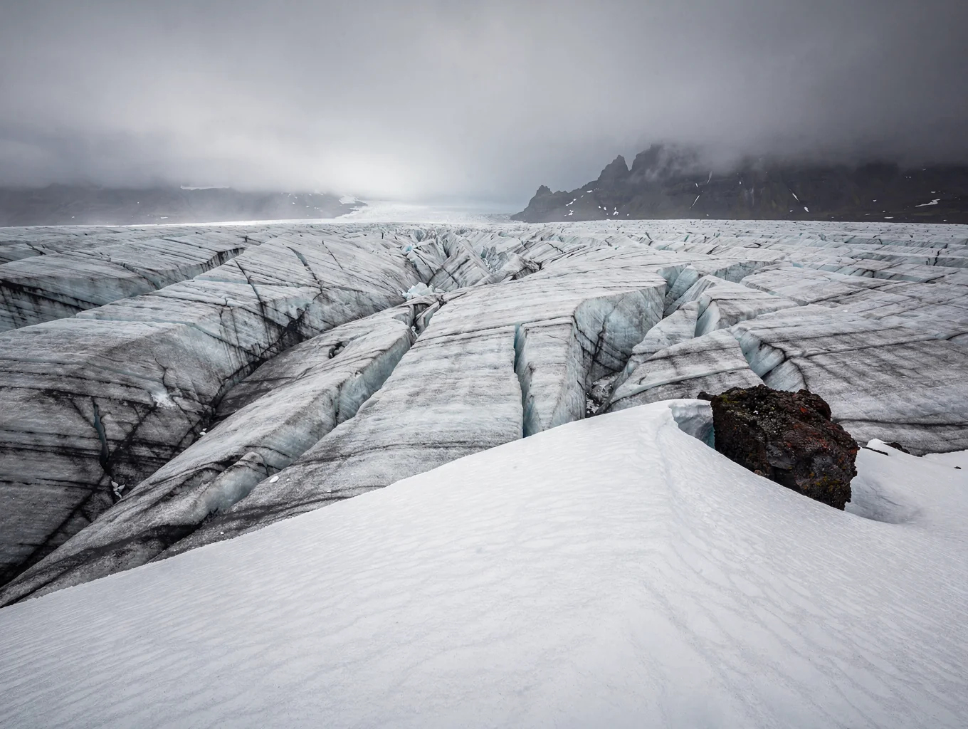
Vatnajökull Ice Formations
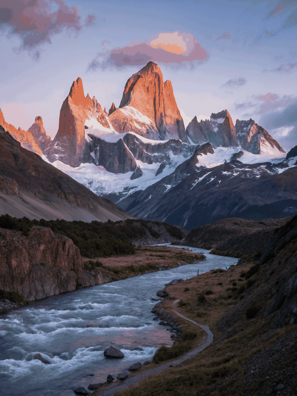
Monte Fitz Roy Alpenglow
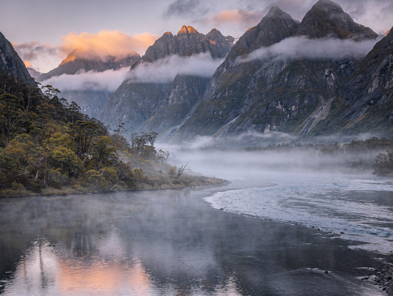
Fiordland Mist over Mitre Peak
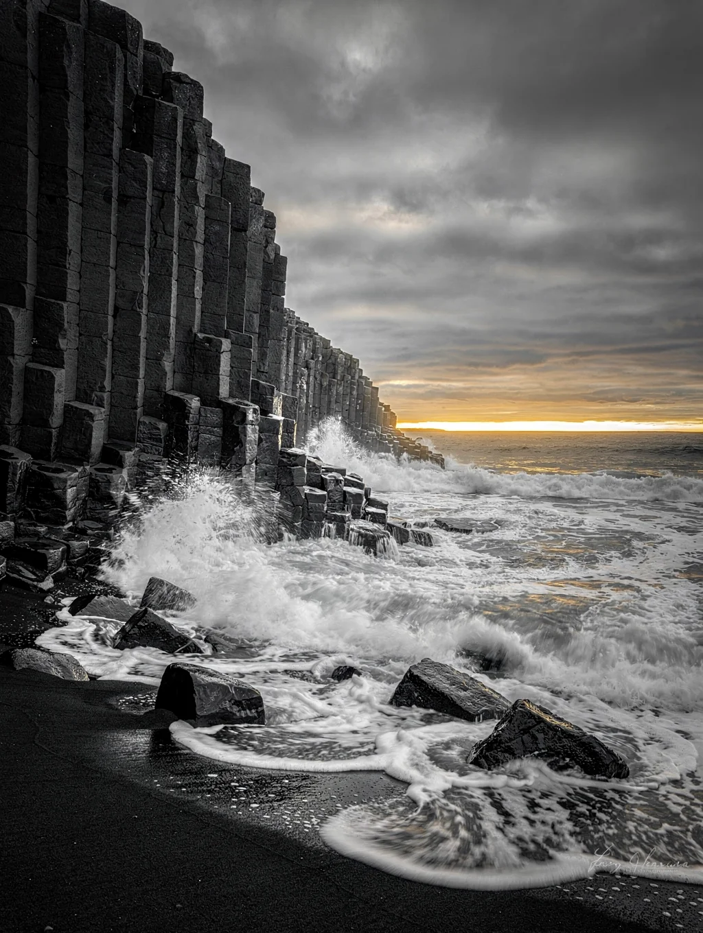
Reynisfjara Basalt Columns
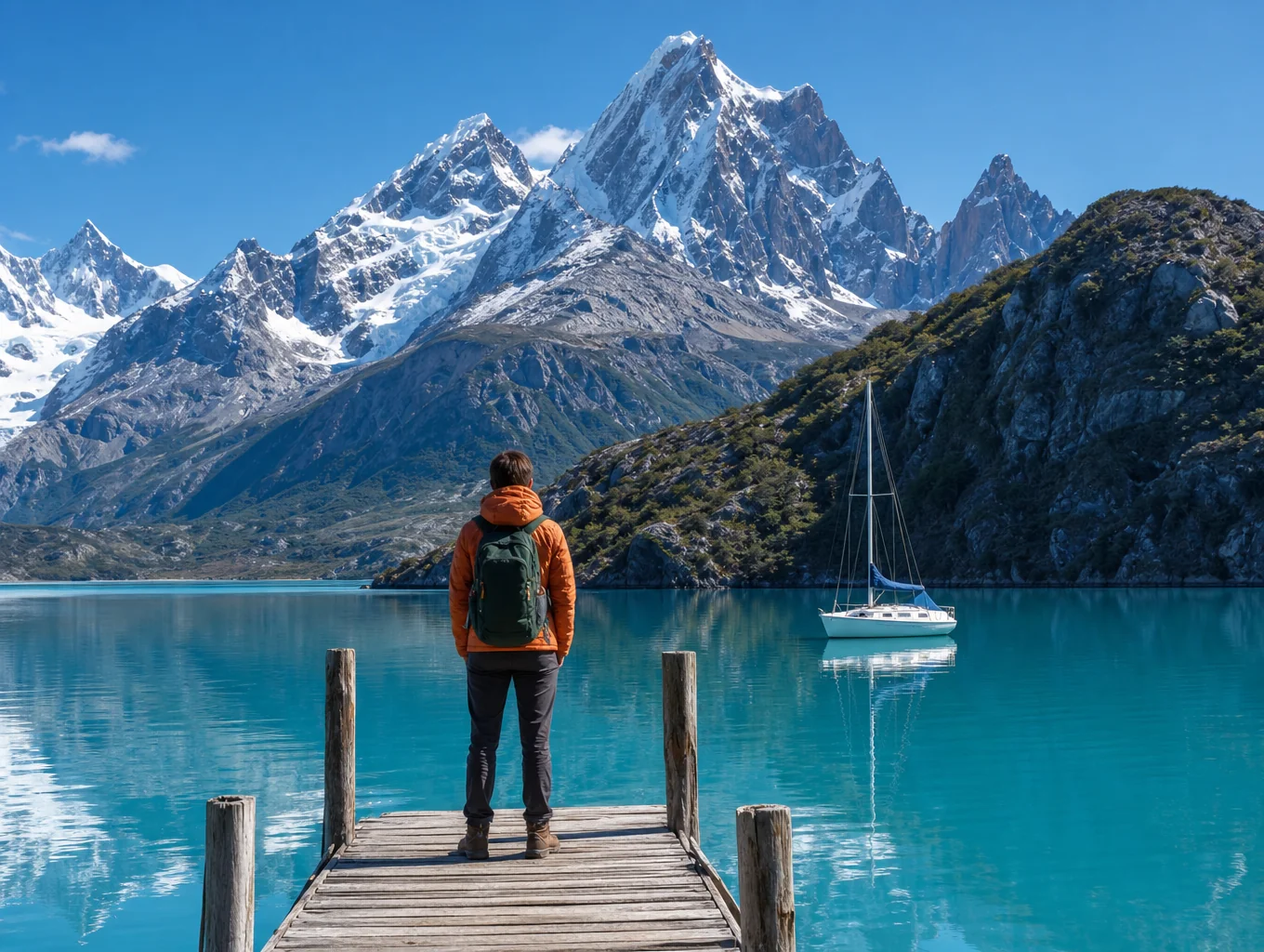
Torres del Paine Laguna Glaciar
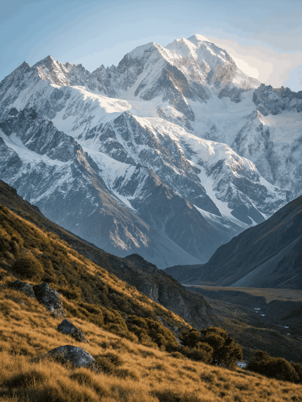
Aoraki Southern Alps Ridge
Crafting prints of lasting beauty
We treat every landscape capture as a fine art object. From paper selection to insured delivery, our process ensures your print is a museum-quality addition to your space.
Museum Grade
Archival Paper
We use heavy-weight, acid-free cotton rag papers that capture the deep blacks of volcanic basalt and the subtle luminosity of glacial ice with unmatched fidelity.
Color Accuracy
Pigment Inks
Our 12-color pigment systems ensure every print maintains its tonal integrity for over a century, resisting fading even in the most challenging light conditions.
Signed Editions
Authenticity
Each limited edition print arrives with a hand-signed certificate of authenticity, ensuring your investment remains a verified piece of fine art photography.
Global Shipping
Insured Transit
We ship worldwide in custom-built, reinforced archival crates, ensuring your landscape piece arrives in pristine condition, ready for your gallery wall.
Limited edition print runs
We restrict print quantities to maintain the exclusivity and value of every landscape photograph.